PROFESSIONAL MONITORING FOR
CONSTRUCTION PROJECTS
Photography, time-lapse cameras, 360° tours and aerial site surveys that capture every stage of construction for progress tracking, reporting and project presentation.
Construction Time-lapse
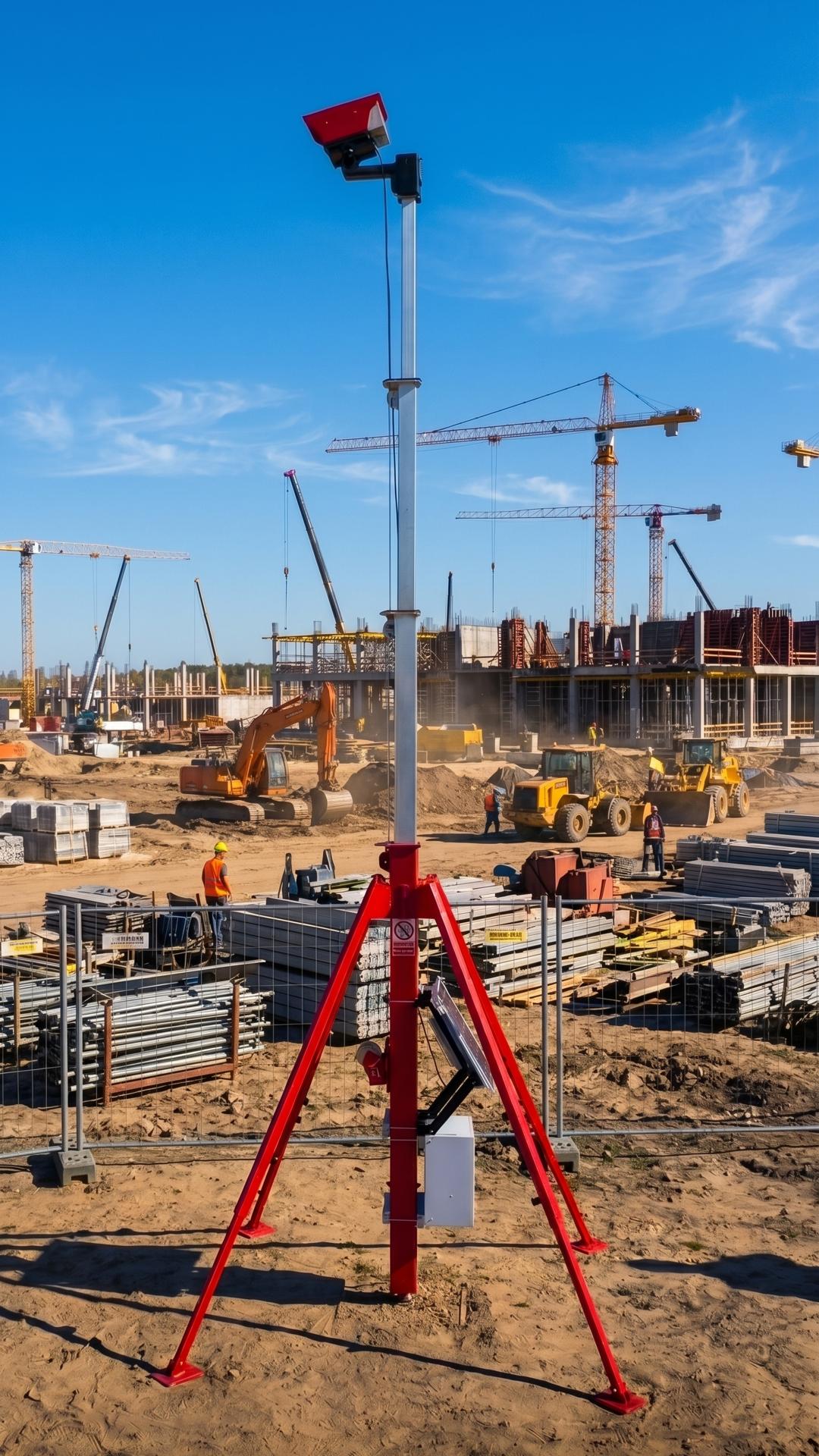
Construction Time-lapse is our service for organising professional time-lapse filming of construction projects — from camera selection and installation planning to site monitoring, IT integration and final film production.
We help construction companies use time-lapse not only as a visual presentation, but as a practical tool for remote progress control, project transparency, reporting, safety analysis, dispute review and rework prevention.
For each project, we select the right cameras, viewing angles, platform and data workflow based on the site conditions, objectives and budget. Where needed, we integrate the system into ERP, BI dashboards, BIM/CDE environments or client-facing interfaces.
The final film is professionally produced with frame selection, image stabilisation, deflicker, frame blending, colour correction, titles, infographics, music and branded versions for different communication channels.
As a result, the client receives a reliable construction monitoring tool, a visual project archive and a strong presentation asset for investors, reporting, marketing and public communication.
Construction Site Progress Photography
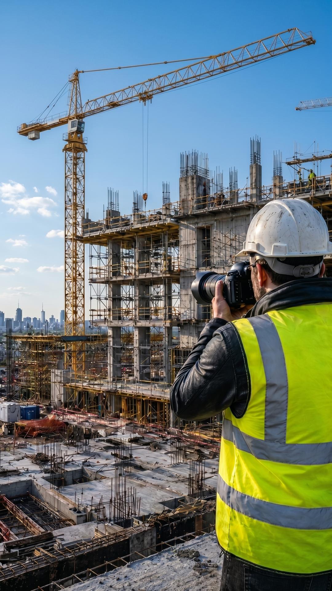
Professional Construction Site Photography is our service for organising high-quality photographic documentation of construction projects — from regular site photo reports to key event coverage and architectural photography of completed buildings.
We help construction companies record progress, completed stages, materials, equipment, work quality and important events such as concrete pours, installations, inspections and handovers.
Photography can follow a fixed schedule or specific project milestones. Final materials can be delivered as PDF reports, cloud galleries, investor presentations, before-and-after comparisons or marketing-ready image sets.
Professional photography provides higher resolution, consistent quality and an independent visual record for clients, investors, banks, insurance companies, internal control and dispute prevention.
We also organise architectural photography of completed projects for websites, portfolios, tenders, PR materials and advertising.
As a result, the client receives a reliable visual archive, clear photo reports and strong presentation material that documents the process and showcases the final result.
360° Virtual Tours & 3D Matterport
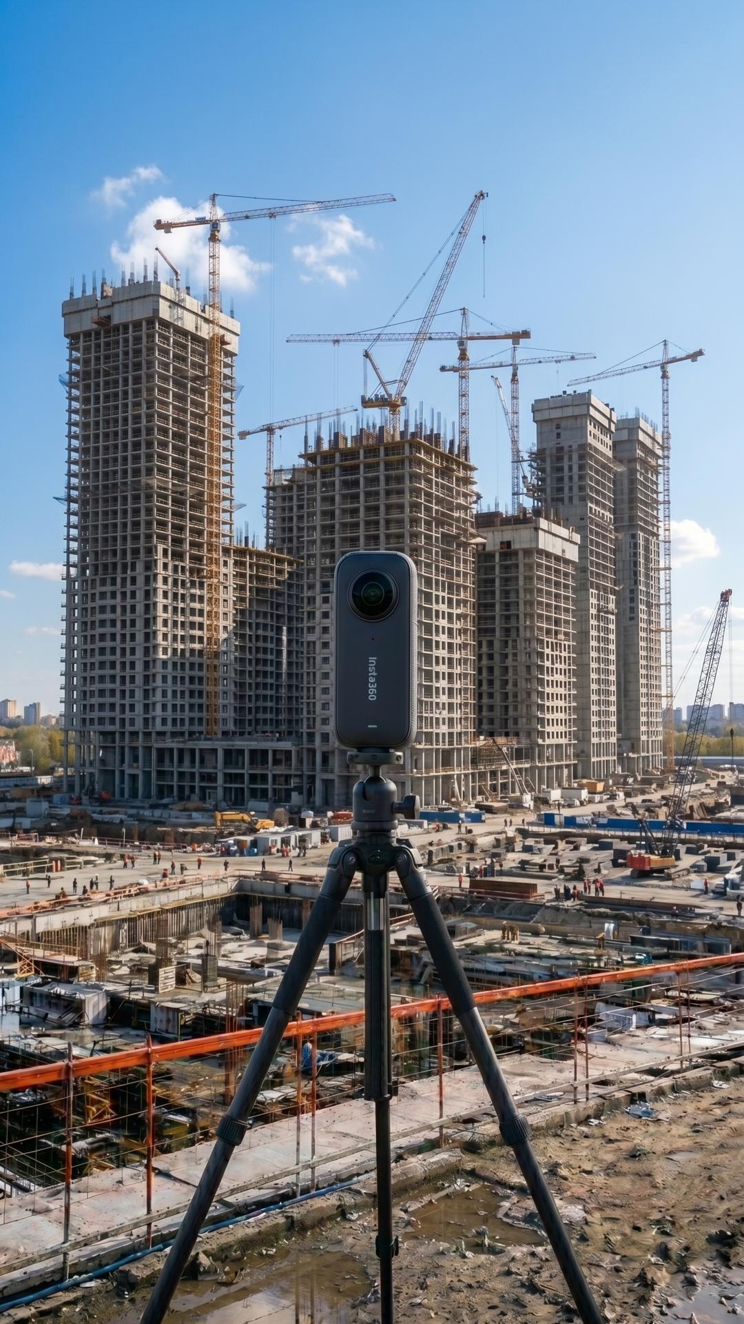
360° Virtual Tours of Construction Sites is our service for creating interactive virtual walkthroughs of construction projects using a 360° camera.
A specialist captures key zones, rooms, floors, technical spaces and active work areas, turning them into a navigable tour similar to Google Street View. This allows teams, clients and investors to inspect the site remotely, compare progress by date and reduce unnecessary site visits.
Regular 360° capture helps document hidden works, monitor quality, review disputed situations and create a complete visual archive of the project.
We organise the full process: route planning, capture frequency, specialist visits, virtual tour creation, plan linking and platform selection.
As a result, the client receives a practical visual monitoring tool for reporting, project control, investor updates, technical reviews and marketing.
Construction Drone Services
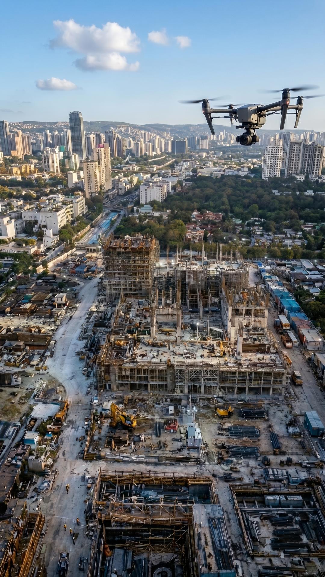
Aerial Drone Capture for Construction Sites is our service for documenting construction projects from above using drone photography, video, 360° aerial panoramas and 3D reconstruction.
It helps construction companies monitor progress, logistics, access roads, materials, machinery, earthworks, roof and façade areas, safety conditions and surrounding infrastructure.
Regular drone visits support reporting, site coordination, safety reviews and early detection of issues that may cause delays, rework or disputes.
We deliver aerial photos, edited videos, visual reports, 360° panoramas, virtual tours, orthophotos, terrain models, point clouds, 3D models and 3D Gaussian Splatting reconstructions, with optional comparison against BIM or design data.
As a result, the client receives a clear visual and analytical record of the site for project control, reporting, decision-making, investor communication and professional presentation.